
Fortæl dine venner om denne vare:
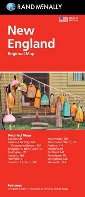
Rand Mcnally Folded Map: Fort Lauderdale Metro Street Map Map edition
Rand Mcnally

Rand Mcnally Folded Map: Fort Lauderdale Metro Street Map Map edition
Rand Mcnally
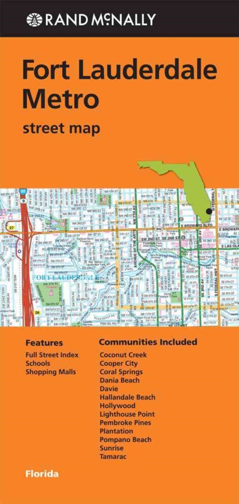
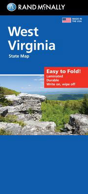
Rand McNally's folded map for Fort Lauderdale Metro is a must-have for anyone traveling in and around this part of Florida, offering unbeatable accuracy and reliability at a great price. Our trusted cartography shows all Interstate, U. S., state, and county highways, along with clearly indicated parks, points of interest, airports, county boundaries, and streets. The easy-to-use legend and detailed index make for quick and easy location of destinations. You'll see why Rand McNally folded maps have been the trusted standard for years.
Regularly updated
Full-color maps
Clearly labeled Interstate, U. S., state, and county highways
Indications of parks, points of interest, airports, county boundaries, schools, shopping malls, downtown & vicinity maps
Easy-to-use legend
Detailed index & full street index
Convenient folded size
© 2013
Communities Included: Coconut Creek, Cooper City, Coral Springs, Dania Beah, Davie, Hallandale Beach, Hollywood, Lighthouse Point, Pembroke Pines, Plantation, Pompano Beach, Sunrise, Tamarac
| Medie | Bøger Paperback Bog (Bog med blødt omslag og limet ryg) |
| Udgivet | 1. maj 2013 |
| ISBN13 | 9780528007996 |
| Forlag | Rand McNally |
| Mål | 63 g |
| Sprog | Engelsk |
Mere med Rand Mcnally


Andre har også købt
![Cover for Preben Hansen · Turen Går Til: Turen går til Californien & Vestlige USA (Hæftet bog) [5. udgave] (2021)](https://imusic.b-cdn.net/images/item/original/578/9788740063578.jpg?preben-hansen-2021-turen-gaar-til-turen-gaar-til-californien-vestlige-usa-haeftet-bog&class=scaled&v=1623395637)
![Cover for Lise Nørgaard · Maxi-paperback: De sendte en dame (Paperback Bog) [5. udgave] (2017)](https://imusic.b-cdn.net/images/item/original/848/9788702234848.jpg?lise-noergaard-2017-maxi-paperback-de-sendte-en-dame-paperback-bog&class=scaled&v=1494312137)
![Cover for Hanne Hostrup · Kæreste-billeder (Indbundet Bog) [3. udgave] [Indbundet] (1999)](https://imusic.b-cdn.net/images/item/original/927/9788741226927.jpg?hanne-hostrup-1999-kaereste-billeder-indbundet-bog&class=scaled&v=1378850409)
![Cover for Sean Wilentz · Bob Dylan i Amerika (Hæftet bog) [1. udgave] [Indbundet] (2013)](https://imusic.b-cdn.net/images/item/original/196/9788779559196.jpg?sean-wilentz-2013-bob-dylan-i-amerika-haeftet-bog&class=scaled&v=1397632877)

![Cover for Rupert Sheldrake · The Science Delusion: Freeing the Spirit of Enquiry (Paperback Bog) [New edition] (2020)](https://imusic.b-cdn.net/images/item/original/224/9781529393224.jpg?rupert-sheldrake-2020-the-science-delusion-freeing-the-spirit-of-enquiry-paperback-bog&class=scaled&v=1602448404)


![Cover for Disney · Carl Barks & Don Rosa Bind III (Hardcover bog) [1. udgave] (2021)](https://imusic.b-cdn.net/images/item/original/515/9788793840515.jpg?disney-2021-carl-barks-don-rosa-bind-iii-hardcover-bog&class=scaled&v=1613510332)
Se alt med Rand Mcnally ( f.eks. Paperback Bog , Kort , Hardcover bog , Bog og Spiralbog )