

Fortæl dine venner om denne vare:
Colorado State Map
Rand McNally

Colorado State Map
Rand McNally
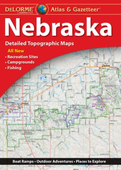
Rand McNally's Easy To Read State Folded Map is a must-have for anyone traveling in and around Colorado, offering unbeatable accuracy and reliability at a great price. Our trusted cartography shows all Interstate, U. S., state, and county highways, along with clearly indicated parks, points of interest, airports, county boundaries, and streets. The easy-to-use legend and detailed index make for quick and easy location of destinations. You'll see why Rand McNally folded maps have been the trusted standard for years. -Regularly updated, full-color maps. -Larger map with a bigger type size than the Rand McNally Folded Map. - Clearly labeled Interstate, U. S., state, and county highways. - Indications of parks, points of interest, airports, county boundaries, and more. - Mileage and driving times map. - Detailed index. - Convenient folded size. Coverage Area: Detailed maps of Boulder, Colorado Springs, Denver & Vicinity, Downtown Denver, Fort Collins, Greeley, Mesa Verde National Park, Pueblo, Rocky Mountain National Park.
| Medie | Bøger Hardcover bog (Bog med hård ryg og stift omslag) |
| Udgivet | 6. august 2021 |
| ISBN13 | 9780528024443 |
| Forlag | Rand McNally |
| Genre | Maps & Guides |
| Mål | 500 g (Estimeret vægt) |
| Sprog | Engelsk |
Mere med Rand McNally


Andre har også købt
![Cover for Preben Hansen · Turen Går Til: Turen går til Californien & Vestlige USA (Hæftet bog) [5. udgave] (2021)](https://imusic.b-cdn.net/images/item/original/578/9788740063578.jpg?preben-hansen-2021-turen-gaar-til-turen-gaar-til-californien-vestlige-usa-haeftet-bog&class=scaled&v=1623395637)
![Cover for Knud Romer · Den som blinker er bange for døden (Hæftet bog) [5. udgave] (2016)](https://imusic.b-cdn.net/images/item/original/573/9788711569573.jpg?knud-romer-2016-den-som-blinker-er-bange-for-doeden-haeftet-bog&class=scaled&v=1480182943)
![Cover for Kerstin Ekman · Ulvespring (Indbundet Bog) [1. udgave] (2022)](https://imusic.b-cdn.net/images/item/original/272/9788702347272.jpg?kerstin-ekman-2022-ulvespring-indbundet-bog&class=scaled&v=1661970721)
![Cover for Jens Andersen · Kongeord (Indbundet Bog) [1. udgave] (2024)](https://imusic.b-cdn.net/images/item/original/776/9788740092776.jpg?jens-andersen-2024-kongeord-indbundet-bog&class=scaled&v=1706260512)


Se alt med Rand McNally ( f.eks. Paperback Bog , Kort , Hardcover bog , Bog og Spiralbog )