

Fortæl dine venner om denne vare:
Rand McNally Folded Map: Oklahoma City Street Map
Rand McNally

Rand McNally Folded Map: Oklahoma City Street Map
Rand McNally
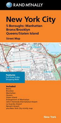
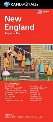
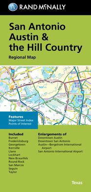
Rand McNally's folded map featuring the streets of Oklahoma City is a must-have for anyone traveling in and around this part of Oklahoma, offering unbeatable accuracy and reliability at a great price. Our trusted cartography shows all Interstate, U. S., state, and county highways, along with many smaller roads and streets, too. You'll see why Rand McNally folded maps have been the trusted standard for years. - Regularly updated, full-color maps. - Clearly labeled Interstate, U. S., state, and county highways. - One-way streets indicated. - Indications of county boundaries, schools, shopping malls, parks, golf courses, hospitals, airports, and points of interest. - Easy-to-use legend. - Detailed street index. - Compact folded size. Coverage Area: Communities include, Bethany, Del City, Edmond, Midwest City, Moore, Nichols Hills, Norman, Spencer, The Village, Warr Acres. Product Details: Measures 9.5 x 4 and folds out to 40 x 28.
| Medie | Bøger Kort (Land- eller søkort) |
| Udgivet | 15. oktober 2021 |
| ISBN13 | 9780528025181 |
| Forlag | Rand McNally |
| Mål | 102 × 226 × 15 mm · 113 g |
| Sprog | Engelsk |
Mere med Rand McNally


Andre har også købt
![Cover for Preben Hansen · Turen Går Til: Turen går til Californien & Vestlige USA (Hæftet bog) [5. udgave] (2021)](https://imusic.b-cdn.net/images/item/original/578/9788740063578.jpg?preben-hansen-2021-turen-gaar-til-turen-gaar-til-californien-vestlige-usa-haeftet-bog&class=scaled&v=1623395637)
![Cover for Knud Romer · Den som blinker er bange for døden (Hæftet bog) [5. udgave] (2016)](https://imusic.b-cdn.net/images/item/original/573/9788711569573.jpg?knud-romer-2016-den-som-blinker-er-bange-for-doeden-haeftet-bog&class=scaled&v=1480182943)
![Cover for Kerstin Ekman · Ulvespring (Indbundet Bog) [1. udgave] (2022)](https://imusic.b-cdn.net/images/item/original/272/9788702347272.jpg?kerstin-ekman-2022-ulvespring-indbundet-bog&class=scaled&v=1661970721)
![Cover for Jens Andersen · Kongeord (Indbundet Bog) [1. udgave] (2024)](https://imusic.b-cdn.net/images/item/original/776/9788740092776.jpg?jens-andersen-2024-kongeord-indbundet-bog&class=scaled&v=1706260512)


Se alt med Rand McNally ( f.eks. Paperback Bog , Kort , Hardcover bog , Bog og Spiralbog )